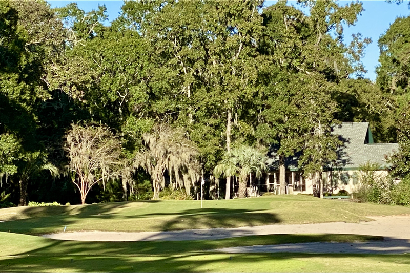
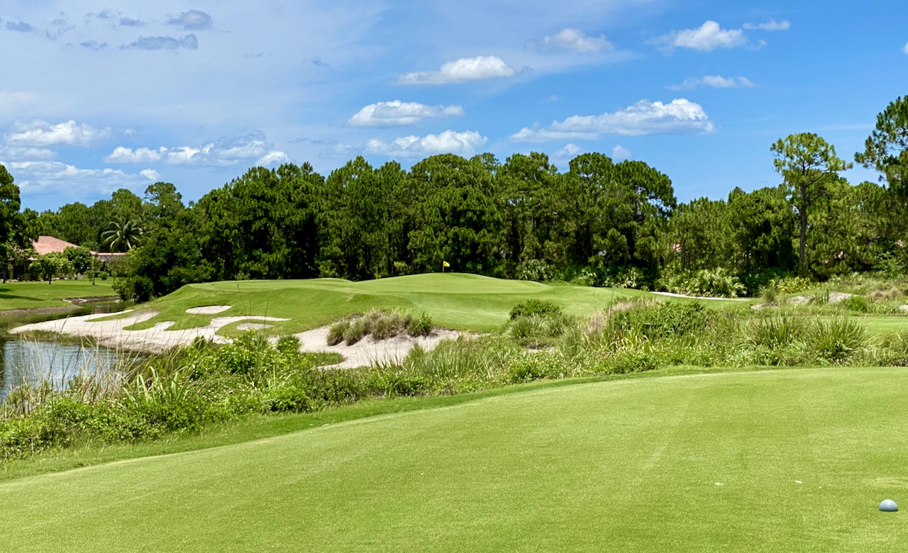
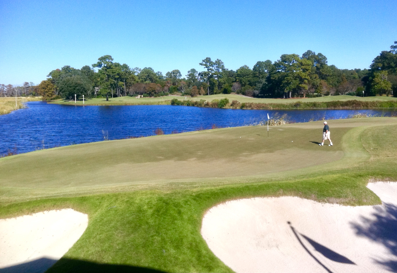
Should any non-golfers be reading this and in the market for a home on the course, here's our take on the best positions for your home. First, behind a tee looking down the fairway; the views will be great and you'll have no chance to be in the way of a 100 mph pellet rocketed at your home. Next choice is at greenside on a par 3, preferably left of the green (ball flights from those who hook the ball, we all know, are more predictable than from those who slice). A body of water separating you from the green adds an extra measure of precaution -- and helps with the view as well. The worst place for your house is about 200 yards down the right side of a par 4 or par 5; if you must have your house there, have a strong roof, preferably not metal, and shatterproof glass. Avoid the ubiquitous stucco exterior so popular in Florida and Arizona lest the outside of your house wind up looking as if it were in downtown Baghdad.
Consider yourself warned.
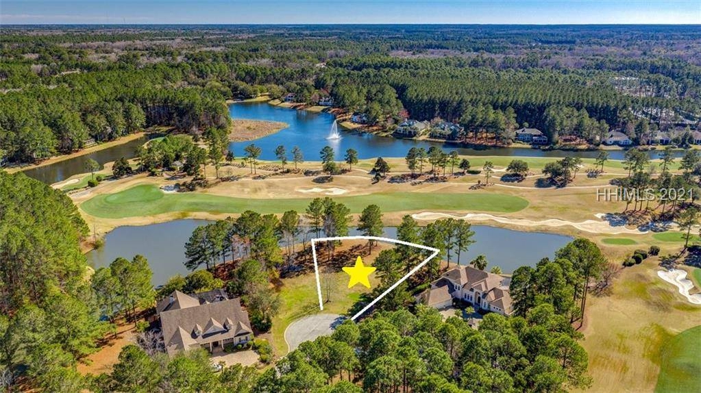
Two degrees of separation: If you need to live at mid fairway, try to get a body of water between you and a big slice. This home at Debordieu near Georgetown, SC, is well positioned for dent-free living.


