It is not exactly typical for a golf course that earns a top designation one year to change its name the next. But that is precisely what Golf Digest’s #9 rated new private golf club of 2009, Innsbrook Golf & Boat Club, did. It is now called Scotch Hall Preserve.
IMI Management, the firm that handled marketing for The Cliffs during that community’s champagne budget years, recommended the name change to Innsbrook’s Austrian investors about the time IMI was chosen to run the sales and marketing activities for the community last year. The Austrians had originally named it for their hometown, the famous Winter Olympics ski resort in their native country. Scotch Hall is the name of a former huge plantation adjacent to the golf community.
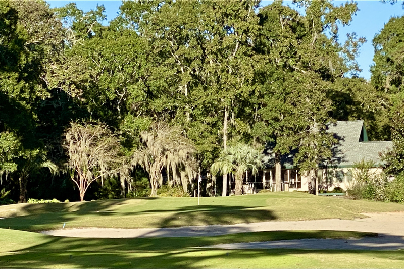
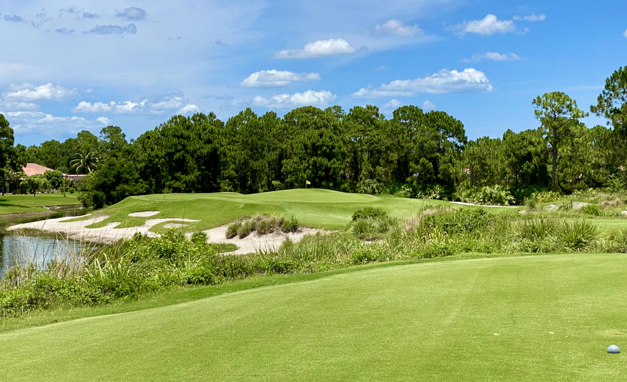
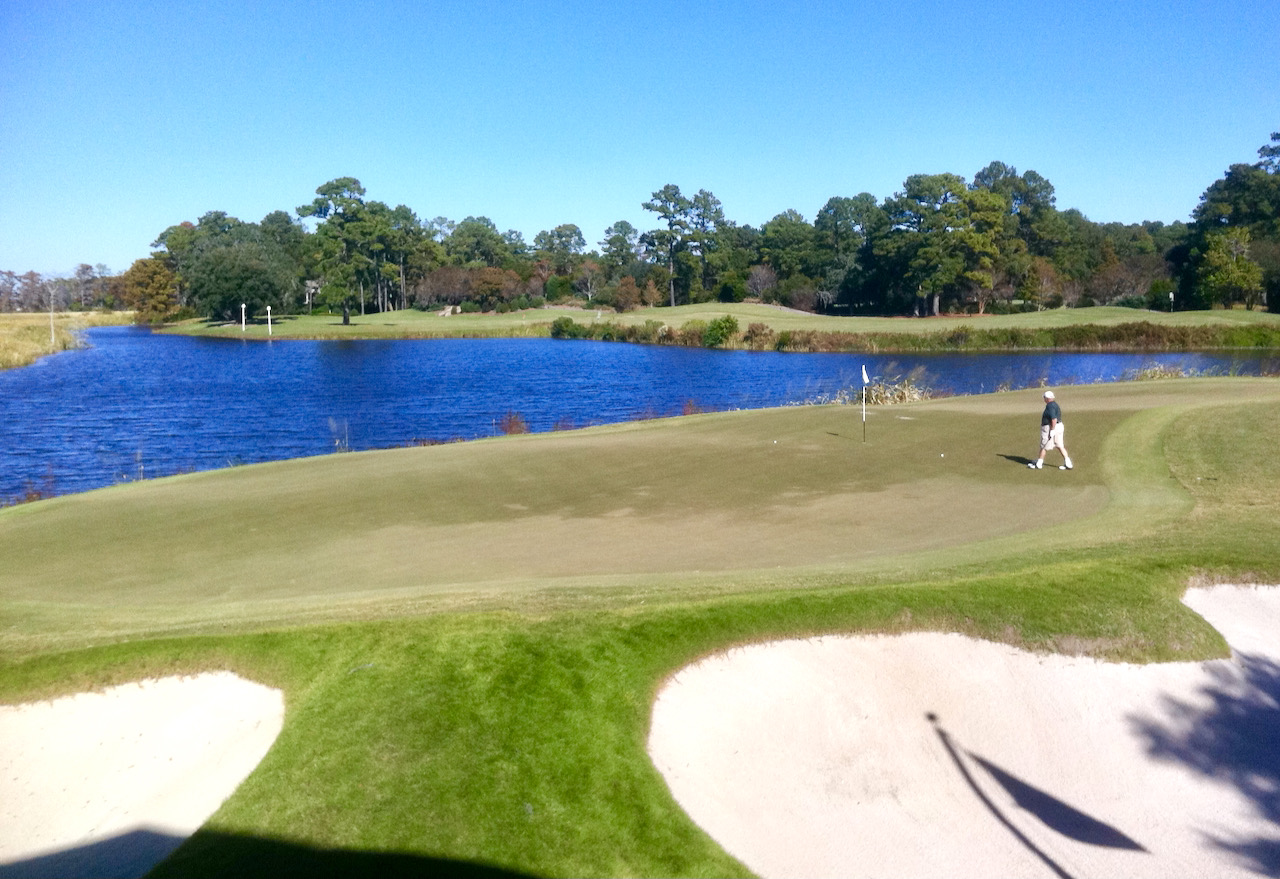
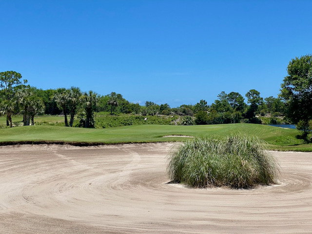
The golf course is credited to Arnold Palmer Design, with the lead architect Harrison Minchew. Photos at the
Scotch Hall Preserve is well located, about an hour from the international airport in Norfolk, VA, and two hours from Raleigh. The nearest town of consequence is Edenton, a former Colonial capital of North Carolina and one of the east coast’s most important seaports in pre-Revolutionary days. A few years ago, we toured and reviewed Hertford, NC’s, Albemarle Plantation, which is 30 miles north of Scotch Hall Preserve and whose excellent Dan Maples layout also uses the Albermarle Sound as backdrop. (Contact me for a free copy of my newsletter review of Albemarle Plantation’s Sound Links.)
With an open-for-play, well-reviewed golf course, a plan to begin construciton in the next few months on a “family retreat” (with pool and events area), and deep pockets investors, Scotch Hall Preserve should not be one of those newer, under-capitalized golf communities that are here today and gone tomorrow. Their marketing representative told me that the development is “virtually debt free” and that more than half the roads have been paved.
No firm date yet is set for the clubhouse to be built; that schedule in
Albemarle Plantation and Scotch Hall Preserve would make for an interesting weekend of golf community prospecting in eastern North Carolina; if you would like to visit, contact me and I will be happy to make arrangements for you at both.
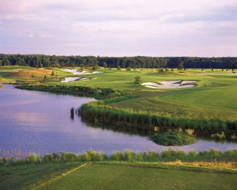
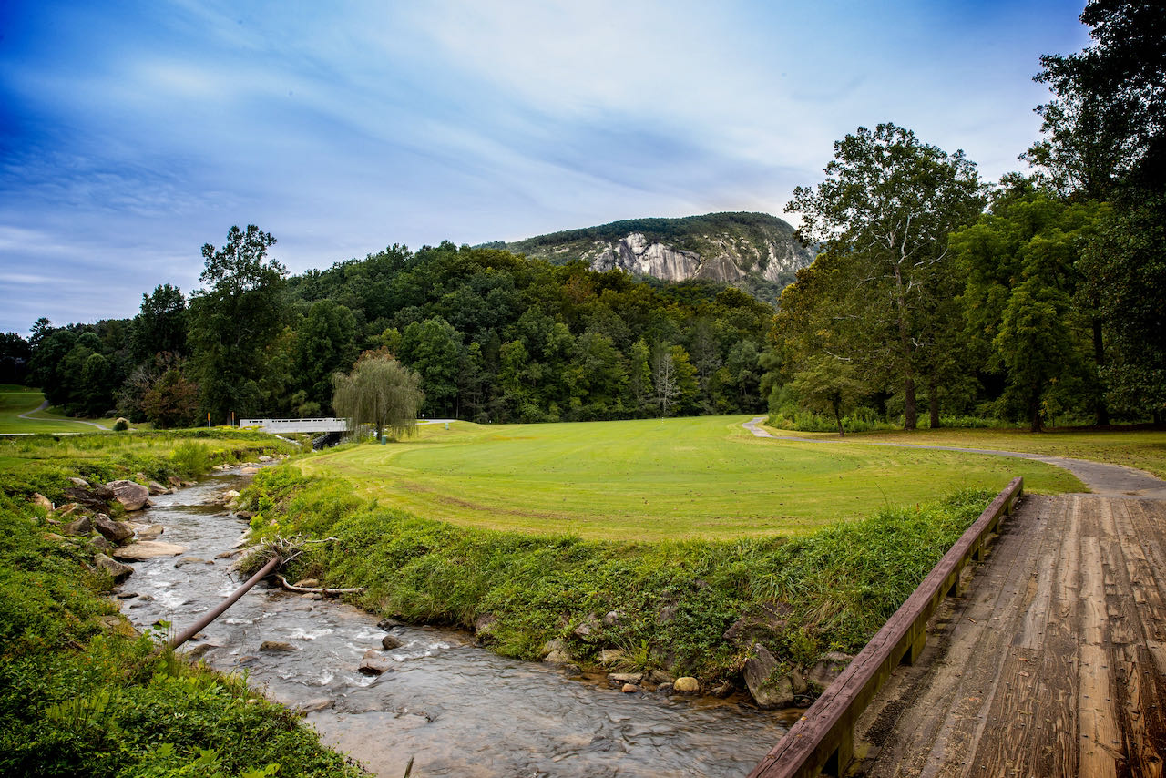
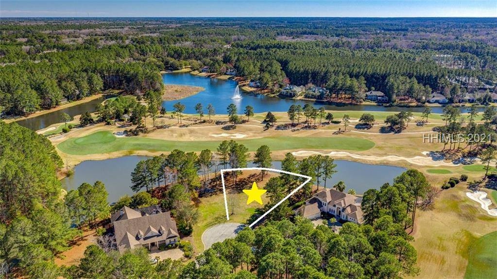
Photo courtesy of Scotch Hall Preserve.