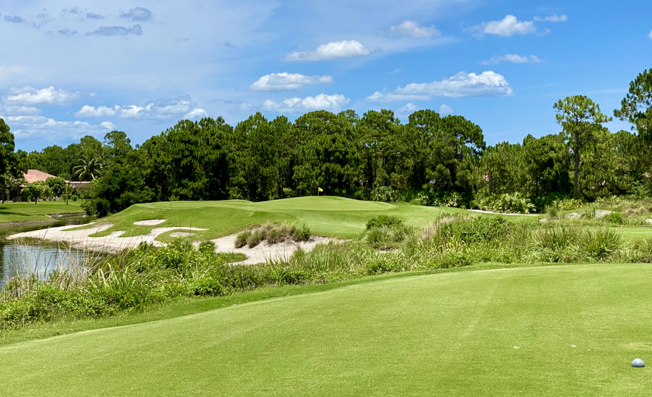
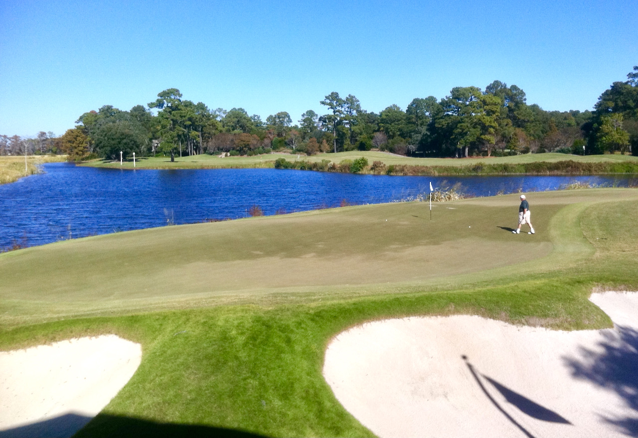
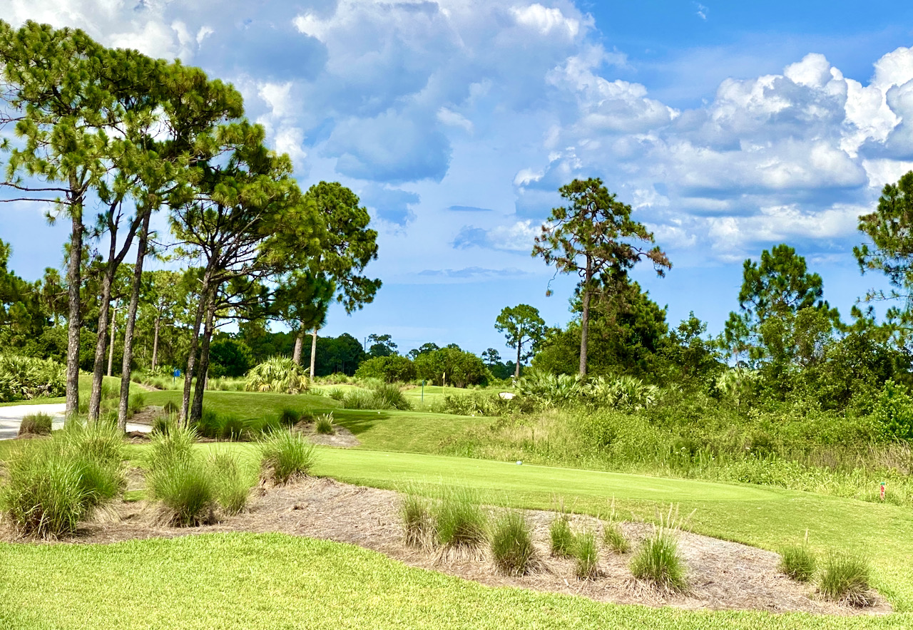
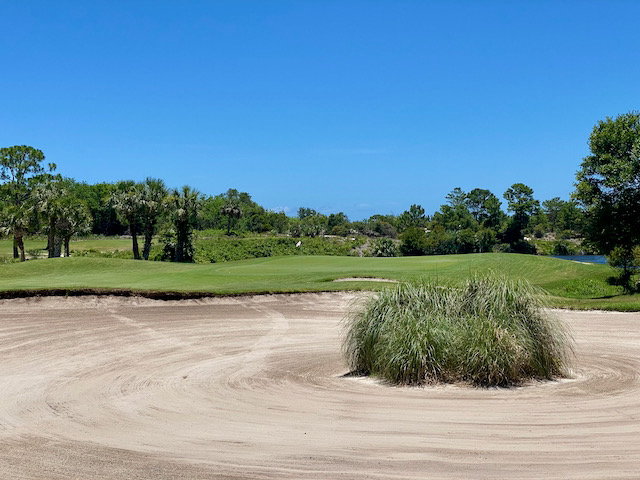
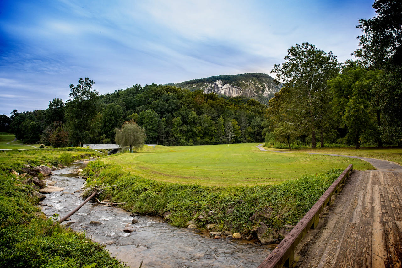
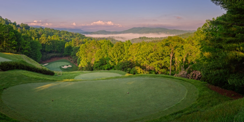
Queens Gap, a new community in the Blue Ridge Mountains of North Carolina, is an interesting story. Its visionary developer, Ohio-bred Devin McCarthy, sold a chemical business he had started in his basement and parlayed his newfound millions into land purchases in Ohio and Florida. But after a few trips to the mountains, he was smitten. McCarthy started buying land near Rutherfordton, NC, 20 minutes from the manmade Lake Lure and about an hour's drive from the popular Asheville area. He scoped out a 3,500-acre tract at elevations up to 2,800 feet and set about developing a property with virtually every popular amenity, including a wellness center and spa, an equestrian center, and a Jack Nicklaus Signature golf course set to open early in 2009.
Queens Gap seems as if it is trying to sniff the same air as the amenities-loaded Cliffs Communities (even the Queens Gap logo, a circle with overlapping mountains, echoes the Cliffs own logo). The choicest land at Queens Gap - an abundant 600 acres of it - was presented to Nicklaus to ensure the best possible routing and little encroachment from homes. But the golf course, according to Queens Gap Land Consultant John Stump, is not the main attraction in the community.
"Our research said our market is first and foremost interested in hiking and walking trails," he says. A $1 million budget has been allocated for the trails, quite a healthy commitment to the fitness of Queens Gap's residents.
The community's target market is substantially people who are still working but are seriously contemplating retirement. The developers are confident those who purchase a second-home in the community will eventually move there full time. Perhaps by then the local services will have caught up with all the development in the area of Lake Lure, which is about 20 minutes away but a circuitous, if beautiful, one-hour ride from Asheville. Currently, a supermarket is a 40-minute round trip from Queens Gap, and doctors and hospitals are at a similar distance. Rutherfordton and its town fathers, having suffered the loss of jobs to overseas competition in textiles and furniture making, have developed a strategic plan to orient the town's economy toward services, but reality is still a few years away. In the meantime, Queens Gap has taken a page from the destination-club playbook and will offer its second-home residents "concierge" service: Call before you arrive at your home, and the concierge will stock your refrigerator and get things in order for you.
At full build out, the community will encompass 1,400 residences, most single family. The remaining 70 lots in Phase I range in price from the mid $200s to the $800s; the higher priced properties are located on a ridgeline with long views to Mount Mitchell and Grandfather Mountain to the west. Membership in Queens Gap's club is mandatory for owners; there is a choice of golf or social membership, and all amenities are included. As an incentive to sell the remaining 70 of the original 200 lots in Phase 1, the developer is offering free golf membership. John Stump says the value of the membership is $25,000 "but it will likely rise when the course opens." Until opening, no membership dues will be assessed.
I was caught up short last week when I heard an advertisement for Queens Gap on a nationally syndicated talk show on XM Satellite radio. It was the first time I had heard any community market itself on a national radio program. It shows Queens Gap is mindful of its competition from the Cliffs and others in the Carolina mountains and that it is serious about appealing to a broad constituency. John Stump says satellite radio is an efficient way for them to advertise becaue they can reach their niche demographic without spending too much.
Queens Gap's niche appears to be well-to-do folks of the conservative political persuasion, and the developers are spending liberally to appeal to that cohort. The stations the community advertises on include Fox News and America Right, a satellite station that counts G. Gordon Liddy, Laura Ingraham and Dr. Laura Schlesinger among its hosts. Don't count on many neighbors from San Francisco at Queens Gap.
Queens Gap Land Consultant John Stump can be reached at


