I got lost on Bald Head Island one night a few years ago, and I don't mean metaphorically. I was lost literally for about four hours on a cold November night, scared that my golf cart would run out of battery juice and I would have to sleep the night by some desolate roadside freezing my butt off. Cell phone service was spotty, the guidance from the police on the mainland was misleading, and I missed dinner for the only time in the last 40 years, perhaps the greatest indignity of a night filled with them.
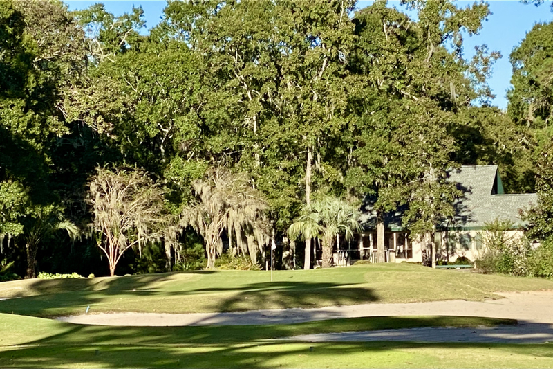
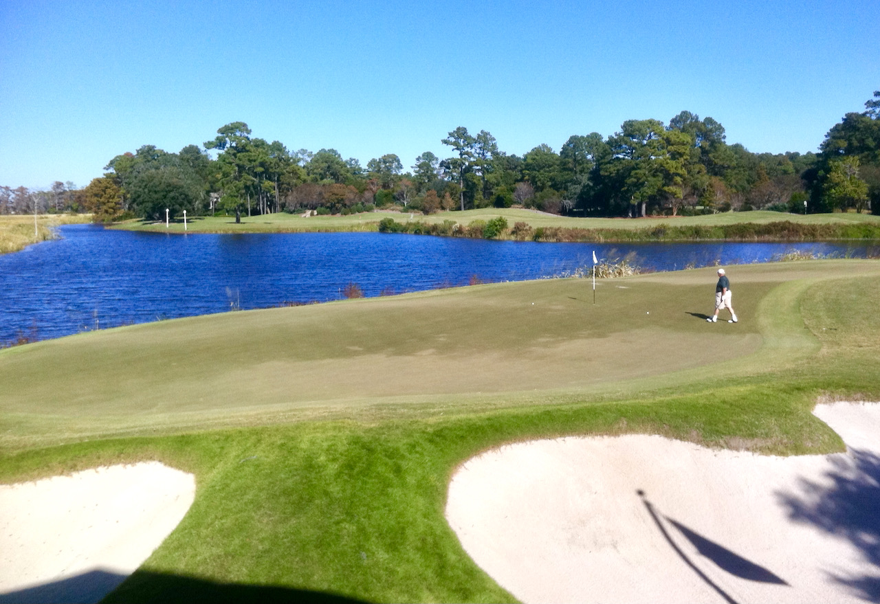
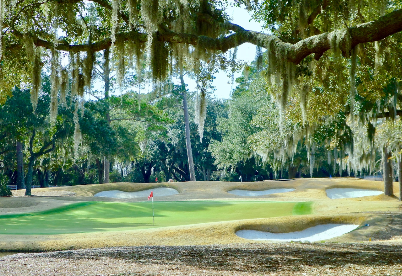
But by dawn's early light, the ill effects of the night before had worn off, except for the rumbling in my stomach. The view of the water from my cottage's bedroom window as the sun came up and the cart ride to breakfast past rolling sand dunes and coastline were uplifting. My round of golf later on the links style George Cobb course restored my bearings fully, and I left Bald Head the next morning, after a brilliant sunset the night before, with a better understanding of why some people choose to live on an island served by ferry only. Greta Garbo would have loved it here, especially in winter.
If money were no object, Bald Head Island, just off the coast of North Carolina near Southport, would be a nice place to set up a family compound of sorts, a place where kids and grandkids would be sure to visit in summertime and where, if it were your only home, you and your significant other could pass winter days in splendid isolation (but with a good map, if not GPS). Some of the homes are huge and all, because of the layout of the island, within a short cart ride of a beach, the golf course and the two large
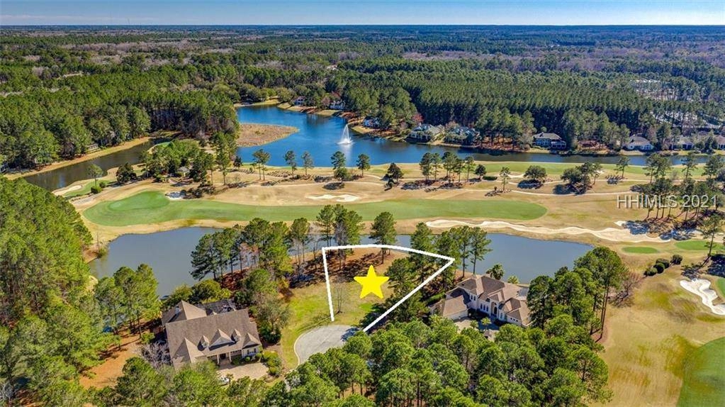
Bald Head Island Realty sends me a regular stream of messages about events and homes for sale, including one I received yesterday. Homes currently on the market range from a 2-bedroom, 2-bath single family home on a wooded lot for $525,000 to a 5-bedroom, 6 ½-bath oceanfront home for $4.12 million(see artist's rendering above). A lot adjacent to the golf course is currently on the market for $295,000 and one with an ocean view for $3.7 million. But beware construction costs; because materials and labor must be shipped in, costs are typically double what they are on the mainland.
If you would like more information about Bald Head Island, let me know (see contact button at top of page) and I will be happy to send it. Or if you would like the name of someone to contact at Bald Head's real estate office, I can do that as well. If you want to dip your toe into island living, summer rentals are also available on Bald Head.


